Creating a village-level shapefile for Pakistan using a Voronoi Tessellation
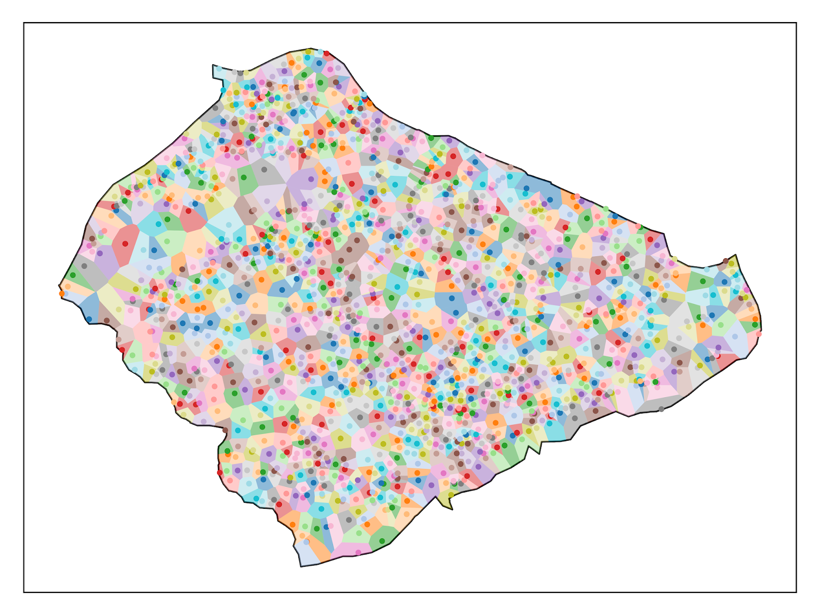
Using the latitude and longitude coordinates of human settlements in Pakistan, i create polygons that approximate the shape of villages. I recently found a shapefile hosted on the UN's Humanitarian Data Exchange (HUMDATA) portal which contains the coordinates of villages in Pakistan: Village level shapefiles are extremely hard to come by, and most countries don't publicly release data at such a fine level of spatial disaggregation. However, conducting analysis at this level can drastically augment statistical power by increasing the number of observations. Consider the relative quantities of various administrative units in Pakistan: Districts are probably the most common sub-national administrative units of analysis in econometrics. In Pakistan, Tehsil and (sometimes) Union Council level data and shapefiles are available, allowing one to go below the district level. Even so, there are 46 times more villages than Union Councils and 1,696 more villages th...
